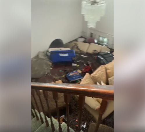
The Barbados-based Caribbean Disaster Emergency Management Agency (CDEMA) Monday said that it hopes the all clear would be given on Wednesday to allow for a proper assessment of the damage caused by Hurricane Dorian that has weakened slightly after hitting the Bahamas as a Category 5 storm.
CDEMA executive director, Ronald Jackson, told a news conference the agency and authorities in Nassau had hoped that the all clear would have been given by Tuesday, but the slow movement of the storm that had weakened to a Category 4 storm, was making that impossible.
“Pessimistically we are thinking that this is likely to be Wednesday before the all clear is given. The implications of that is it will delay any ability to get into these two islands (Abaco and Grand Bahama) and to collect specific information on the level of the impact,” Jackson told reporters.
“I know there are questions abound as to the casualties reported based on a number of reports on social media (and) people are trying to find out whether these numbers are indeed factual, whether they are higher, …we don’t know.”
He said the teams would be required to get on the ground and provide the information to the authorities.
CDEMA over the last weekend deployed two teams to Bahamas too coordinate the Regional Response Mechanism (RRM).
““This deployment is in direct response to a request from the Commonwealth of the Bahamas. The rapid needs assessment teams are expected to support assessments on the family islands most impacted byDorian in the aftermath of the event. The teams will support the government of the Bahamas in rapidly assessing the damage from the hurricane and in prioritizing needs,’ CDEMA said.

Jackson told reporters that the teams would cover the two affected islands with a population of 78,000 people.
:”So the teams will be going in to do their assessments,” he said, noting that the hurricane had defied the forecasts of the various agencies that had been monitoring it.
“It is not my word, it would have baffled the forecasters, it has done what they did not anticipate. First it was supposed to have petered out,” Jackson said, noting that while the storm had passed through the Lesser Antilles “it was supposed to pass over Hispaniola which was supposed to weaken it and turn it into a depression.
“It chose a different path that took it between the channel between Puerto Rico and Hispaniola and it strengthened there as it moved on towards the Bahamas. It was supposed to be a Category One hurricane, maybe Category Two going into a storm when it hit the US mainland, (but it has become a Category 5)”.
Jackson said regardless of the intensity of the storm, CDEMA is not fixated by the strength of the storm, adding “what we look at is making sure that on our side we are prepared to offer response support to the governments’.
In its latest bulletin, the Miami-based National Hurricane Centre (NHC) said that the Grand Bahamas Islands will continue to “experience catastrophic winds and storm surge” as Hurricane Dorian “inches westward” with sustained maximum winds of 155 miles per hour (mph).
The storm is now 25 miles, north east of Freeport, Grand Bahama and is moving “very slowly” towards the west at one mile per hour (mph).
“A slow westward to west-northwestward motion is forecast during the next day or so, followed by a gradual turn toward the northwest and north. On this track, the core of extremely dangerous Hurricane Dorian will continue to pound Grand Bahama Island through much of today and tonight. “The hurricane will then move dangerously close to the Florida east coast late tonight through Wednesday evening and then move dangerously close to the Georgia and South Carolina coasts on Wednesday night and Thursday,” the NHC added.